|
|
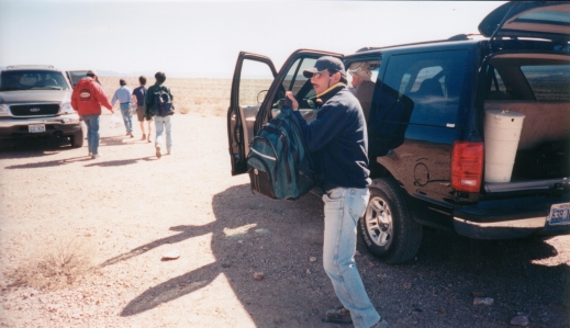
Wednesday 03/04/2002 - Marcello and team are unloading equipment in preparation to attain magnetic and gravitational readings from the northern Tecopa Valley |
|
|
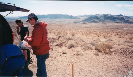
Monday 03/04/2002 - Ivan is unloading equipment and setting up the magnetometer for the long walk across the northern Tecopa Valley. Just outside the bottom right border of this picture is the base station for both the magnetic and gravitational measurements. The line of measurements run from this base station to the foot of the basalt covered Dublin Hills in the top right corner. |
|
|
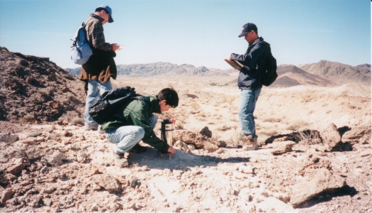
Monday 03/04/2002 - (from left to right) Sunjung, Zhey, and Daejin take gravity measurements in the northern Tecopa Valley. The readings are being taken on a mound of Lake Tecopa sediments. Gravity measurements were taken from the base station on the Resting Springs range front across the Tecopa Valley to Hwy 127 just north of the Shoshone campgrounds. |
|
|
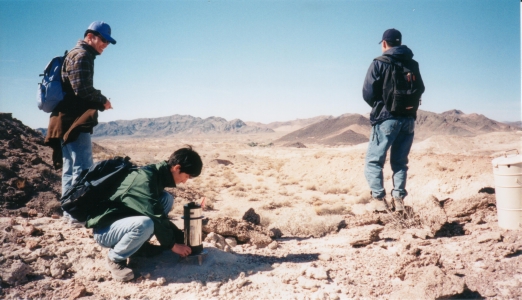
Monday 03/04/2002 - While Sunjung and Zhey finalize the gravity measurements, Daejin scouts for the flag marking the next measurement station. Time is critical to minimize the number of trips back to the base station. |
By Mark
Cleveland
![]()